Read The Ground Through Your Feet!
Mountain Minute #04 – Contour Lines: How to Read the Landscape Without Looking Up
Your weekly 3-minute read for safer, smarter adventures in the hills.
Most walkers carry a map, but not everyone reads it. Contour lines—the brown squiggles on your OS map—are your best friend when it comes to understanding terrain.
Contours connect points of equal height, forming the invisible shape of the land. When you learn to read them, you can “see” the mountain even when it’s hidden in mist.
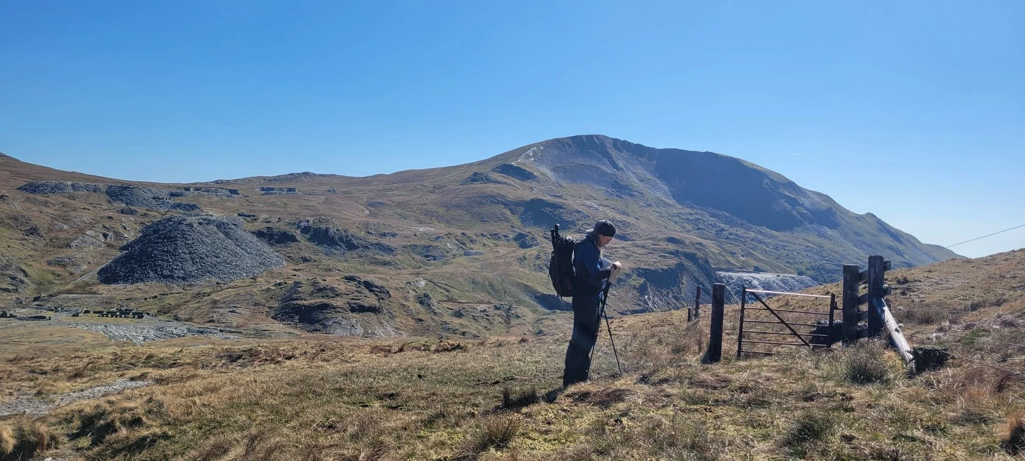
Perry keeping his map skills fresh.
Here’s what to look for:
Close together = steep ground
Far apart = flatter slope
Rings = hilltops or depressions (check elevation numbers)
Sharp V’s = valleys or gullies (pointing uphill)
With practice, you’ll spot ridges, cols, cliffs, and reentrants instantly—and avoid unpleasant surprises like steep drop-offs or long detours.
Want to level up? Try “map reading in reverse”: trace a route using contours only, then go walk it and compare the map to the ground. It’s one of the fastest ways to build terrain awareness.
Pro Tip: Look for “handrails” like walls or streams — they help you stay on track even when the path disappears.
➡️ Ready to sharpen your nav in Snowdonia? I’d be more than happy to teach you! Click here.